 |
| Georgetown weathervane |
Through no fault of our own (at least that is my interpretation and why should I go with any other) we have run afoul of the law here in the Bahamas but without any ill effects.
 |
| Held up for 3 nights for weather on Acklin Island before getting to Georgetown |
We entered Bahamian waters on April 28th near the island of Mayaguana and we only cleared in officially, with Customs & Immigration today, May 6th in Georgetown, Great Exuma Island. Unlike other countries we have visited, the C & I officers here in Georgetown had no interest in whether we had exited the previous country, the Turks and Caicos, under good terms. Didn’t ask to see any previous clearance papers. I was afraid there would be fines, etc although today was the first day we were actually able to clear in, given weather and weekend interference.“Enjoy your time in the Bahamas,” was all we got.
 |
| Dock at Black Point Settlement, north of Georgetown |
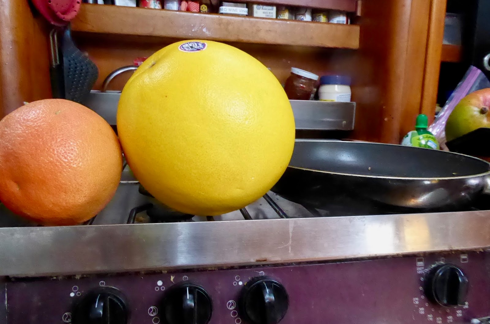 |
| A favorite fruit, the giant Pomolo, |
No, I believe in following the rules on the water and on land. I’m not always happy to do it however. Take for example, our tedious and uncomfortable effort to clear out of the Turks and Caicos nine days ago.
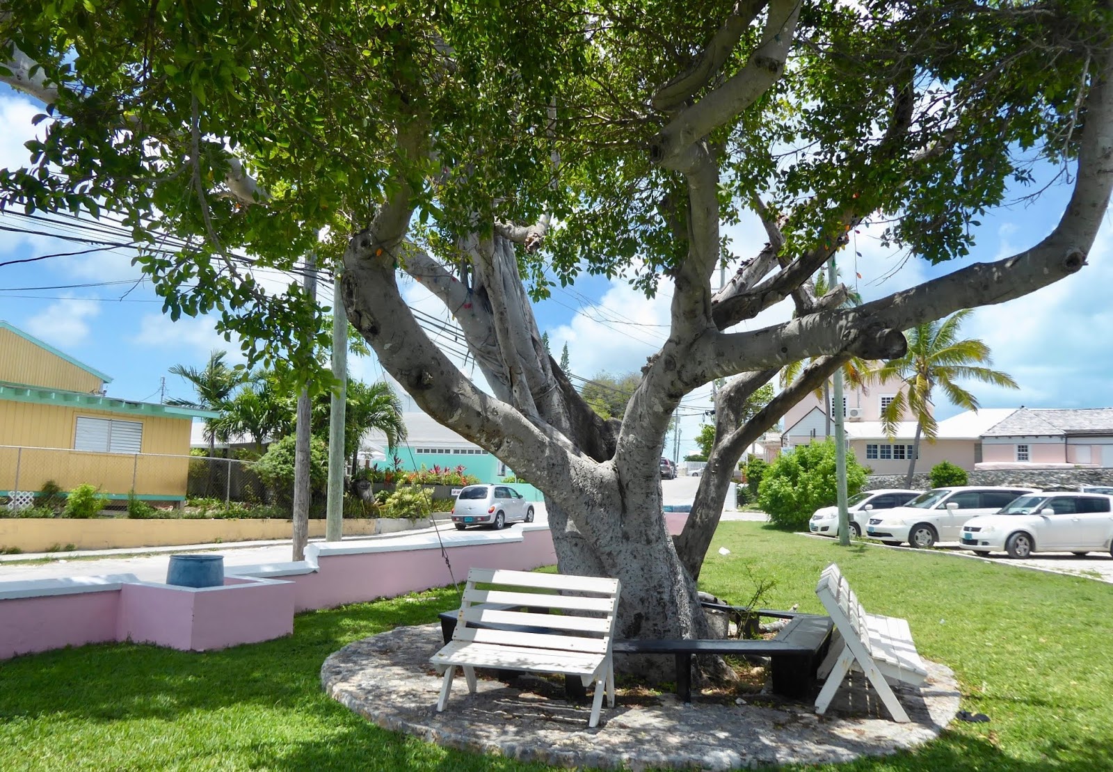 |
| Georgetown park in front of Customs and Immigration |
We crossed the Caicos Bank from east to west on a Friday, with the intent to clear out of the country on Saturday. We were tired from long sailing days and planned to spend the day snorkeling and relaxing after clearing out and then get right back to sailing on.
 |
| Providenciales, in Turks & Caicos |
9:00 AM We went ashore on the island of Providenciales, or Provo as it is commonly called, and beached our dinghy on a white sand beach. A man there offered to watch our dinghy, our concerns being theft and the possibility of it floating away when the tide came up.
 |
| Chalk Sound next to Police Dept |
There are two places on the island of Provo to clear out with Customs & Immigration. One of them, a marina tucked into a shallow harbor has C & I on site 7 days/week. Unfortunately, the draft of our boat is too deep for that marina except at high tide. We were not about to waste 24 hours by waiting for a high tide to enter and for another to leave.
 |
| Road from beach to Freight Port, Provo |
9:30 AM The other way to go through C & I is at the Freight Port, where the cargo ships come in. We learned after walking ourselves to the Port Office, that C & I would come in on the weekends only when a cargo ship comes in. (The cruising guide we consulted had said nothing about that.) A cargo ship was en route they said and “should be here by 11 or 12:00.” So, we strolled down the dusty road in a thumb-twiddling state.
 |
| Carl sitting in shade at Police station |
Provo is a desert island. There are no shade trees. And scant few buildings in the area near the Port. It’s very hot. I regretted not drinking more water before leaving the boat. The only spot of shade two loiterers like ourselves could find was on the front step of the police department down the road. So, there we sat until thirst overtook us. So we trudged further along to a gas station/convenience store.
A lone young woman was at the register. How long can a couple of tall, imposing characters like ourselves linger around inside a store ogling the refrigerated section and sidling up to the the air conditioning before starting to look like they’re “up to something” nefarious? Not long enough, let me tell you. Two cold beverages and a snack accompanied us back to our spot of shade on the step of the police department.
 |
| EnR - Emergency & Rescue |
A lone young woman was at the register. How long can a couple of tall, imposing characters like ourselves linger around inside a store ogling the refrigerated section and sidling up to the the air conditioning before starting to look like they’re “up to something” nefarious? Not long enough, let me tell you. Two cold beverages and a snack accompanied us back to our spot of shade on the step of the police department.
 |
| Photographed birds while waiting. This guy sings his heart out |
11:30 AM. Trodding back to the Port Office through that same inch of fine dust we’d stirred up earlier. “The ship should be here about 1:00 or after,” they said. Hmph. Out into the desert once more. This time we schlumped along until we found a bar/cafe that was open. The cafe actually had good food. We began to think that our luck was turning. It wouldn’t be long now and we’d be on our way.
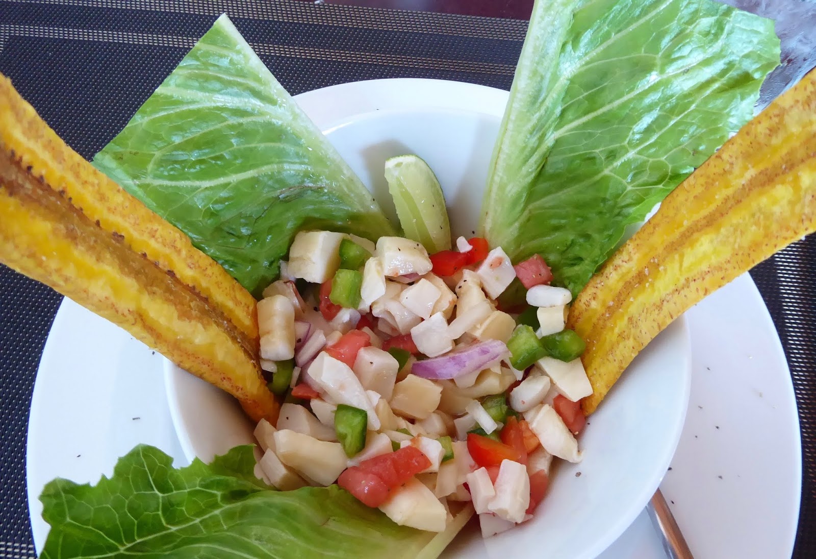 |
| Lunch of cracked conch and plantain spears |
1:00 PM. We slowly hauled ourselves back to the Port office. “Oh, the ship won’t be in for a couple of hours.” I may have groaned aloud. One of the nice young men in the office offered to call C & I to see whether they could be encouraged to come in before the ship arrived. No answer. That was the same result that we had had earlier in the morning when we tried calling.” So much for our luck changing. Now what to do. We’d already found and taken advantage of all the available air conditioned buildings open to us in the vicinity of the Port.
What to do…what to do….? Neither of us was energetic enough to make a decision. Maybe Carl could bring me back to the boat? We made it partway back to the beach toward our dinghy and then stopped under a wee spot of shade offered by some bougainvillea bushes. There was absolutely no purpose in going back out to the boat. A half hour to get there and another half hour to return to the Port office? Where’s the sense in that?
 |
| a wee spot of shade by gated beach house |
What to do…what to do….? Neither of us was energetic enough to make a decision. Maybe Carl could bring me back to the boat? We made it partway back to the beach toward our dinghy and then stopped under a wee spot of shade offered by some bougainvillea bushes. There was absolutely no purpose in going back out to the boat. A half hour to get there and another half hour to return to the Port office? Where’s the sense in that?
 |
| The only true flowers on bougainvillea are the tiny white ones surrounded by leaves that turn many different colors. |
We needed to do something with ourselves however. Something. The bushes were alongside a gated beach house and we stood there until we began to feel like lurkers, casing the joint. Anyway, there was no place to sit down anywhere. Carl’s foot was hurting…..a plantar fasciitis thing we think. What to do? What to do? “What do you wanna do?” “I don’t know. I don’t know what to do.” “What do you wanna do?” At least we were in complete agreement that we were individually and as a couple, completely useless in developing a plan.
 |
| Scaling the hill |
 |
| The freight ship we are waiting for--it'll be another 1 1/2 hours before it arrives. |
I should mention that I was not wearing hiking shoes but rather slip-on sandals. And it was a very steep rocky hill. But now I risk sounding like a whiner. We skirted the sharpest cactus, found the most secure looking rocks and climbed to the top of the hill. Indeed, there was a nice breeze there. “And look, there are rocks we can sit on.” “And look out there; there’s the cargo ship out on the Caicos Bank.….faaaar away yet.” There we sat—the day slipping away.
 |
| Down the other side of the hill. Freight yard below. |
4:00 PM We watched the cargo ship approach the dock far below and we started down the other side of the hill to the Port Office hoping that C & I would be willing to clear us out before dealing with the cargo ship. Yes, they would. Excellent! We were given hard hats and reflective vests to wear in the shipping yard. This was almost starting to be fun. I was trying to be more upbeat about the extremely hot, and wasted day.
 |
| My first time wearing a hard hat. |
4:15 PM In the C & I office. “We’re on a sailboat. We’d like to clear out of the country,” we said. Two uniformed officers, a middle-aged man and a woman glanced at us, then looked at each other in what I would call a sheepish manner. Without saying a word to us and mumbling between themselves they rustled around the office. By that I mean, opening and closing file cabinet drawers, rifling through desk drawers, cabinets, moving things around on the counters. Earnest Rustling if I ever saw it. Finally, the man pulled out his cell phone. We could hear part of the conversation, “We’ve got a ….a pleasure sailboat; …..wanna clear out …….where is the……..looked everywhere.” Neither had ever worked in that office before, they said. Just filling in for the regular guy. I’d have never guessed.
 |
| Alternate route back to beach. |
All told, it took less than 10 minutes to complete the clearing out process. We opted not to scale the steep shortcut over the rock and cactus covered hill. We were back on the boat again only 8 hours after we’d left it with our silly plan of clearing out early and sailing on.
 |
| Fortunately, our dinghy was rescued. |
Incidentally, the man who had “looked after” our dinghy noticed it was gone about mid-day, and told us he had found it innocently floating further down the shore. He readily acquiesced to a tip for looking after the dinghy; after all, he’d had to go out looking for it. (As if the dinghy had been naughty and given him a run for his money by making a break for it?)
 |
| Sisal plant. See 12-14' stalk rising out of center of the cactus-like plant. Sisal was a crop used to make rope. |
Although we’ve heard several sailors report having had a fine time in Provo, I regret to say I didn’t much care for this island.


